OUR SERVICES
Nonexclusive Studies
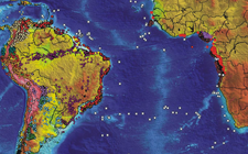
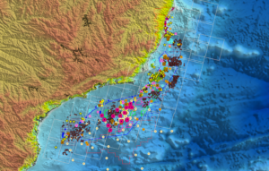
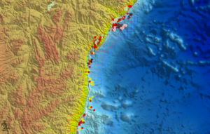
GSI has conducted more than 50 nonexclusive geochemical studies throughout South America with a particular emphasis on Brazil. Visit the ‘Our Work’ tab to learn more about studies that are available for immediate license.
Please contact for pricing.
Technical Service
Our in-depth technical service studies conducted on offshore conventional wells are customized according to our clients’ needs. Click below to learn more about study deliverables and the importance of geochemistry as applied to minimize exploration risk.
Integrated Studies
GSI has joined Dickson International Geosciences to create MARIMBA, an ongoing multidisciplinary (Geology, Geophysics, Geochemistry & GIS mapping) basin analysis of the South Atlantic region. This study is based on high-quality data and is available for immediate delivery.